H & H Modeling|In Progress
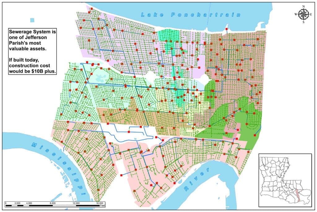
Silver Jackets — Jefferson Parish Green Infrastructure & Watershed Master Plan
Through the United States Army Corps of Engineers Silver Jackets program, MSMM is currently developing a Watershed Master Plan inclusive of Green Infrastructure elements for Jefferson Parish. The developed plan promotes coordinated decision-making, reduces increased flooding from future conditions and identifies segments of green infrastructure elements in the Fat City portion of the Parish.
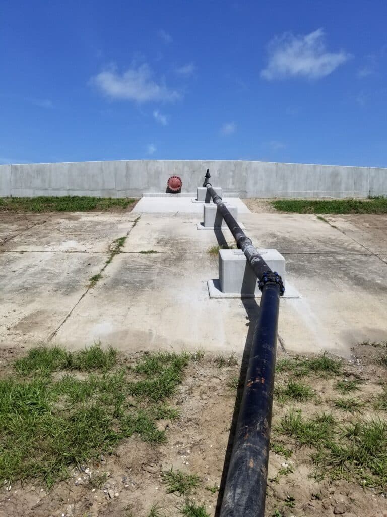
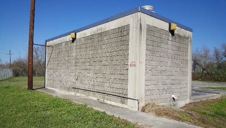
MSMM engineering staff have reviewed hydrologic and hydraulic (H&H) models, performed new modeling to validate designed rainfall runoff retention rates, derived watershed behavior, assessed the impacts of multiple rainfall/storm events in specific areas, and developed a subset of non-structural mitigation actions that were promoted within regions 6 and 8 of the Louisiana Watershed Initiative. MSMM continues to collect and analyze local storm water data for the purpose of identifying storm water management issues, integrated storm water best management practices that could be implemented, and possible solutions on public and provide land. The goal will be a project listing that prioritizes watershed-based projects that will reduce peak storm conditions. MSMM is in the preliminary stages of development, having received the Jefferson Parish model, example Watershed Master Plan documents and community and stakeholder feedback, preliminary concepts are currently being modeled that will ultimately be recommended in the final plan. Additionally, non-structural measures are being investigated on the East and West Banks for consideration in the final plan. Green infrastructure measures under consideration for incorporation consist of permeable pavement, bioretention areas, bioswales, rain gardens, small pump stations, landscaping options, conveyance systems and multiple floodplain management options designed to shave the peak off each rainfall event.
Development of the Jefferson Parish Watershed Management Master Plan, (WMP) gave MSMM the dual opportunities of assisting parish leadership in developing strategies to prepare the drainage system for future sea level rise and of assisting the parish residents in lowering their flood insurance rates. Working through the US Army Corps of Silver Jackets program, MSMM provided lead assistance in the ongoing process of acquiring National Flood Insurance Program (NFIP) credit for developing the WMP as part of the Community Rating System (CRS), a voluntary incentive program that recognizes and encourages community floodplain management practices that exceed the minimum requirements of the NFIP.
The NFIP considers a WMP to be the result of a hydrologic and hydraulic study of the watershed using a hydrograph approach, examining both existing and future development conditions, and under different management scenarios. For CRS credit it must model at least the 100-year fully developed watershed at a scale sufficient to determine local problems. Utilizing the parish’s existing SWMM models, MSMM adjusted input parameters for rising sea levels, changing storm patterns as projected in the NOAA Atlas 14 rain models, and changing development plans as projected in the Jefferson Parish future land use plan. The output from this modeling effort was then quantified in terms of water surface elevation changes and then processed into an info-graphics format so the results could be easily interpreted by planners and decision makers.
Utilizing modeling results, FEMA CRS guidance criteria, Jefferson Parish planning studies, input from the parish, and MSMM broad experience from previous drainage and flood studies; a series of recommended watershed management strategies were developed. These recommendations ranged from proposed implementation of standard low impact development principles, such as use of permeable pavements and bio-swales, to specific unique recommendations for Jefferson Parish watershed management regarding pump maintenance considerations, generation capacity and levee resiliency planning. This information will be used in developing management plans and preparing stormwater management regulations to insure that the Jefferson Parish stormwater management program is prepared for future environmental changes and planned development.
Jefferson Parish, LA